Imagery, basemaps, and Earth cover
National Land Commission Secretariat
Topography 50k Category: Open
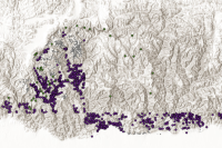
The topographic map on a scale of 1:50,000 was based on vertical aerial photographs of the 1950s and field verification in the 1960s. The Survey of India published these topographic maps of Bhutan. Altogether 78 topographic map sheets cover the whole of Bhutan. Later 22 toposheet in 1: 50,000 was completed by June 2001.